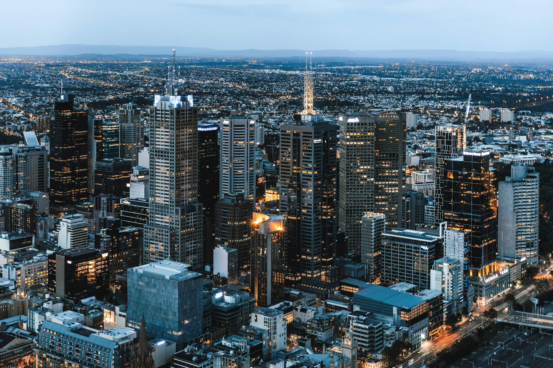
Professional Drone Services Melbourne
Drone Melbourne provides professional drone photography, aerial videography and specialist drone services across Melbourne and Victoria. We work with businesses, property professionals, builders, agencies, production teams, tourism operators and event organisers to capture clear, high quality aerial content for commercial use.
Our Services
Every job is assessed individually based on the location, airspace, operating environment, creative brief and required deliverables.
Aerial Photography
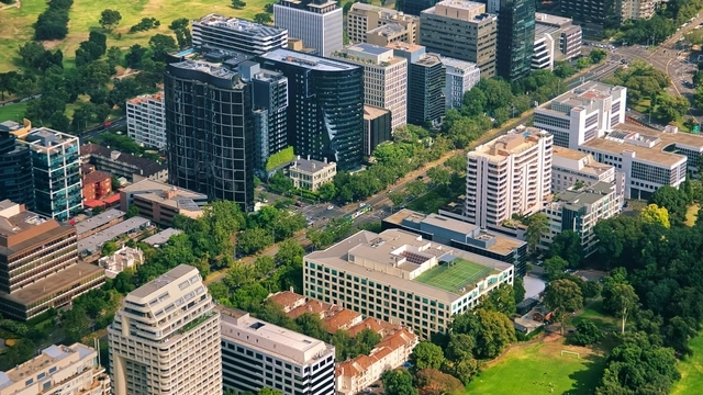
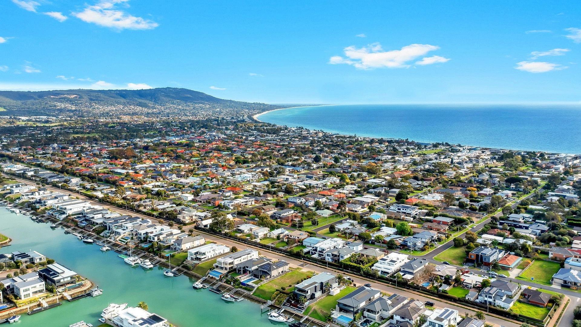
Our Melbourne drone photography service provides high-resolution aerial images for commercial property, construction, architecture, tourism, events, marketing and digital content. Aerial photography can clearly show the scale, location, layout and surrounding context of a site in ways ground photography cannot.
Images can be delivered for websites, social media, print, advertising, reports or further post-production, with the final format tailored to the project.
Aerial Videography
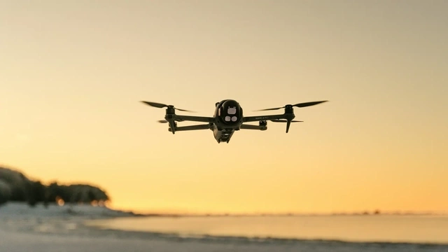
We provide professional drone videography across Melbourne and Victoria for corporate video, advertising, destination marketing, social media, events and commercial productions.
Drone footage can be captured in 4K and higher resolutions, depending on the project requirements. We can provide finished edited content or raw footage where requested, with delivery formats selected for web, social media, advertising or professional production.
Real Estate Marketing
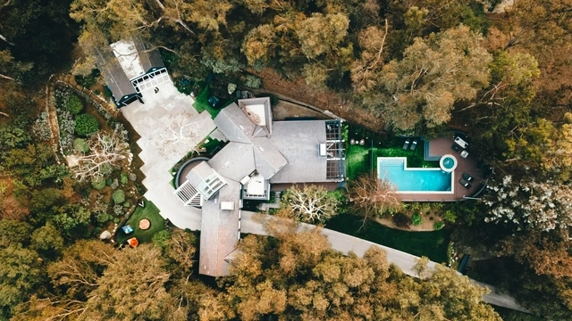
Drone photography and video help buyers understand a property's scale, setting and relationship to the surrounding area. We provide aerial content for residential, commercial and development property across Melbourne.
Typical deliverables can include elevated property views, surrounding location context, approach shots, aerial video and high-resolution photography for listings, websites, campaigns and social media.
Event Coverage
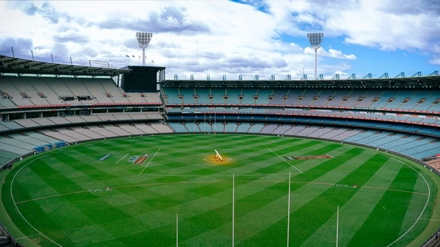
We provide aerial photography and video for suitable outdoor events, festivals, corporate activations and community projects. Drone footage can provide wide establishing views, venue context and dynamic perspectives that complement ground-based photography and video.
Event operations depend on the exact location, airspace, site access, people and planned flight. We assess these factors before confirming the project.
Tourism & Destination Content
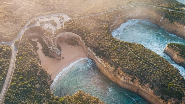
Drone Melbourne creates aerial photography and video for tourism operators, destinations, hospitality businesses and promotional campaigns across Melbourne and regional Victoria.
Aerial content can showcase landscapes, attractions, accommodation, venues, coastlines and visitor experiences for destination marketing, websites, advertising, social media and campaign production.
Construction & Site Progress
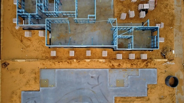
We provide scheduled drone photography and video for construction sites across Melbourne and Victoria. Aerial capture can document project stages, show overall site conditions and provide clear visual updates for stakeholders, project teams, reporting and marketing.
Where appropriate, repeat visits can use similar viewpoints to create a consistent visual record of progress over time.
Custom Projects
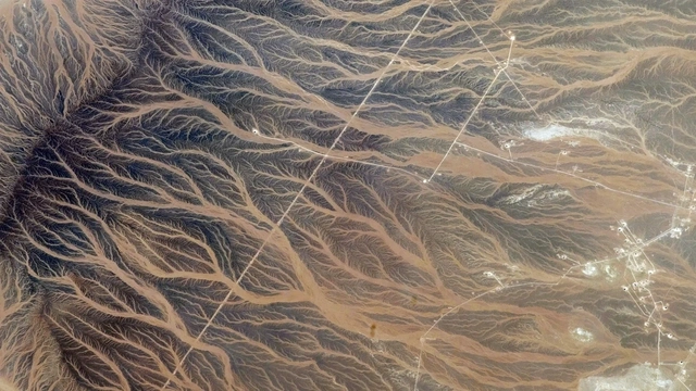
Some projects do not fit a standard package. We provide customised aerial capture for businesses, agencies and production teams that need a specific shot, location, workflow or delivery format.
Send us your brief, intended use, project location and required deliverables. We can then assess the project and recommend an appropriate approach.
Aerial Mapping
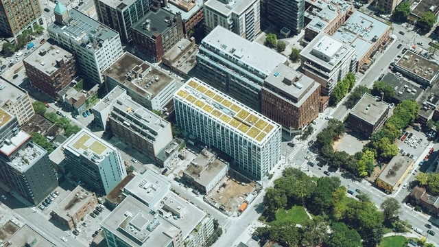
We provide high-resolution aerial mapping for visual site overviews, planning, documentation and project reporting. Multiple aerial images can be combined to provide a detailed top-down view of a site or area.
Mapping requirements vary significantly. If you require survey-grade measurements, specialist data outputs or a particular accuracy standard, tell us during the quotation stage so we can confirm whether the requested deliverable is suitable.
Asset Inspection
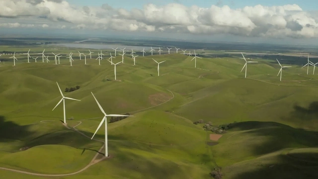
Drone inspection imagery provides detailed visual access to roofs, buildings, properties and other difficult-to-view areas. High-resolution photography and video can help maintenance teams, property owners, builders, insurers and other professionals review visible conditions without relying only on ground-level views.
We capture the required visual information and deliver clear files for review, reporting or further assessment.
How It Works
Tell us what you need, where the project is located, your preferred date and how the final content will be used. We assess the brief and operating requirements, confirm the scope and quote, plan the capture, complete the shoot and then deliver the agreed photography, footage or edited content.
Weather and operating conditions are monitored before the shoot, and we will discuss alternatives if conditions are unsuitable.